
Anúncios
Measuring land has never been easier thanks to modern mobile technology and GPS-based applications designed for accuracy and convenience.


Whether you’re a farmer planning crop rotations, a real estate professional evaluating properties, or a homeowner designing a backyard garden, having the right tool to measure land areas is essential. Gone are the days of relying solely on expensive surveying equipment or complicated manual calculations.
Anúncios
Today’s smartphone apps combine GPS technology, satellite imagery, and user-friendly interfaces to deliver professional-grade measurements right in your pocket. These applications have democratized land measurement, making it accessible to anyone with a smartphone and eliminating the need for specialized training or costly professional services.
📱 Why Use an App to Measure Terrains Instead of Traditional Methods
Traditional land measurement methods, while accurate, often require significant investment in equipment, time, and expertise. Professional surveyors use theodolites, total stations, and other specialized instruments that can cost thousands of dollars. For most everyday applications, these methods are simply impractical.
Mobile apps designed to measure land areas offer a compelling alternative. They leverage the GPS capabilities already built into your smartphone, providing surprisingly accurate results for most non-professional applications. The convenience factor alone makes them invaluable for quick assessments, preliminary measurements, and planning purposes.
Anúncios
The learning curve for these applications is minimal compared to traditional surveying techniques. Most users can start taking accurate measurements within minutes of downloading the app, with intuitive interfaces that guide them through the process step by step.
🌍 How GPS Technology Powers Land Measurement Apps
At the heart of every terrain measurement app lies GPS (Global Positioning System) technology. This satellite-based navigation system provides location and time information anywhere on Earth where there’s an unobstructed line of sight to four or more GPS satellites.
When you use an app to measure terrains, your smartphone receives signals from multiple satellites orbiting the planet. The app calculates your precise position based on the time it takes for these signals to reach your device. As you walk around the perimeter of the area you want to measure, the app records each GPS coordinate.
Modern smartphones can achieve GPS accuracy ranging from 4 to 10 meters under open sky conditions. Some advanced apps utilize additional technologies like GLONASS, Galileo, or BeiDou satellite systems to improve accuracy even further. This multi-constellation approach provides more reliable measurements, especially in challenging environments.
Understanding Accuracy Limitations and How to Overcome Them
While GPS-based measurement apps are remarkably capable, understanding their limitations helps you use them more effectively. Tall buildings, dense tree cover, and atmospheric conditions can all affect GPS signal quality and, consequently, measurement accuracy.
To maximize accuracy when using an app to measure terrains, follow these best practices:
- Wait for strong GPS signal acquisition before starting measurements
- Walk slowly and steadily around the perimeter of your area
- Hold your phone at a consistent height and orientation
- Avoid measuring during heavy cloud cover or severe weather conditions
- Take measurements in open areas whenever possible
- Consider taking multiple measurements and averaging the results
🎯 Key Features to Look for in a Land Measurement Application
Not all terrain measurement apps are created equal. The best applications combine accuracy, ease of use, and comprehensive features that cater to various measurement needs. Understanding what to look for helps you choose the right tool for your specific requirements.
A high-quality land measurement app should offer multiple measurement modes. The most common is perimeter mode, where you walk around the boundary of the area. Pin mode allows you to manually place markers on a map, which is useful when physical access to the property is limited or impractical.
The ability to save and manage multiple measurements is essential for professionals and anyone working with several properties. Look for apps that allow you to name, categorize, and export your measurements in various formats including PDF, KML, or CSV files.
Unit Conversion and Multiple Measurement Systems
A versatile app to measure terrains should support multiple unit systems. Different regions and industries use different measurement standards, so having automatic conversion capabilities saves time and reduces errors.
Common area units include square meters, square feet, acres, hectares, and square kilometers. The best apps let you switch between these units instantly, displaying results in your preferred format without requiring manual calculations.

🏡 Practical Applications for Homeowners and Garden Enthusiasts
For homeowners, having an app to measure terrains opens up numerous possibilities for property management and landscaping projects. Whether you’re planning a new fence, calculating how much sod you need for your lawn, or designing a vegetable garden, accurate measurements are the foundation of successful projects.
Landscape design becomes significantly easier when you know exact dimensions. You can calculate precisely how many plants, pavers, or bags of mulch you’ll need, reducing waste and ensuring you purchase the right quantities on your first trip to the garden center.
Pool installation, deck construction, and patio planning all benefit from quick area measurements. Instead of waiting for a contractor to provide initial estimates, you can gather this information yourself and start planning or budgeting immediately.
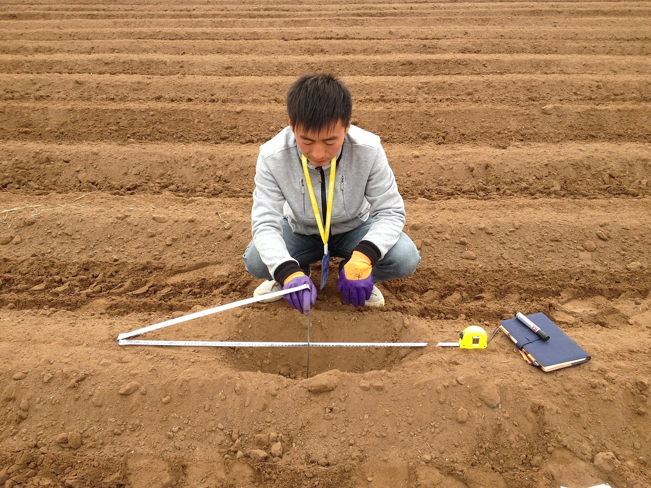
🌾 Agricultural Uses and Farm Management Benefits
Agriculture represents one of the most valuable applications for terrain measurement technology. Farmers use these apps to calculate field sizes for crop planning, fertilizer application, irrigation system design, and yield estimation.
Knowing the exact acreage of each field allows for precise resource allocation. Whether you’re determining seed quantities, calculating fertilizer needs, or estimating potential harvest volumes, accurate field measurements eliminate guesswork and optimize resource utilization.
Many farmers use measurement apps to subdivide large fields into management zones. This precision agriculture approach allows for targeted treatment of different areas based on soil type, drainage patterns, or historical yield data.
Grazing Land Management and Livestock Planning
For ranchers and livestock farmers, an app to measure terrains helps with pasture rotation planning and stocking rate calculations. Knowing exactly how much grazing area you have enables you to determine appropriate animal numbers and prevent overgrazing.
Rotational grazing systems depend on dividing pastures into appropriate-sized paddocks. Measurement apps make it easy to design and implement these systems, improving pasture health and animal nutrition while reducing environmental impact.
🏗️ Real Estate and Property Development Applications
Real estate professionals increasingly rely on mobile measurement technology for property evaluation and client presentations. Having the ability to quickly measure lot sizes during site visits adds professionalism and provides immediate value to clients.
Property appraisers use these apps as preliminary tools before conducting formal surveys. While not suitable for legal boundary determinations, they provide excellent estimates for valuation purposes and help identify discrepancies that may require professional surveying.
Land developers benefit from being able to quickly assess potential sites. Early-stage planning becomes more efficient when you can estimate buildable area, calculate potential lot divisions, or determine if a property meets minimum size requirements for specific zoning classifications.
🎓 How to Use a Land Measurement App Effectively
Getting started with a terrain measurement app is straightforward, but understanding proper technique ensures the most accurate results. The basic process involves marking the perimeter of your area, either by walking around it or placing pins on a map.
For walking mode, start at a clearly identifiable corner or boundary point. Press the start button and begin walking slowly and steadily around the perimeter, keeping your phone stable. Try to walk as close to the actual boundary as possible without compromising safety.
When you return to your starting point, close the measurement by tapping the finish button. The app will automatically calculate the enclosed area and display it in your preferred units. Review the perimeter path on the map to ensure it accurately represents the area you intended to measure.
Advanced Techniques for Complex Property Shapes
Irregularly shaped properties or areas with obstacles require slightly different approaches. Most quality apps allow you to add or remove individual points after completing your initial measurement, letting you refine boundaries for maximum accuracy.
For properties with internal exclusions (like buildings or ponds within a larger parcel), some apps support negative space calculation. You measure the total area, then measure the excluded portions, and the app subtracts them from the total.
📊 Understanding Measurement Data and Reporting Features
Beyond simple area calculations, comprehensive measurement apps provide additional data that adds value to your measurements. Perimeter length is automatically calculated alongside area, which is essential for fencing projects or border plantings.
Many apps also calculate the distance of your walking path, which can differ from the actual perimeter if you didn’t follow the boundary precisely. Comparing these values helps you assess the accuracy of your measurement.
GPS coordinate recording for individual boundary points allows you to revisit exact locations later. This feature is particularly valuable for marking boundaries, locating specific features, or sharing precise locations with contractors or other stakeholders.
💡 Choosing Between Free and Premium App Versions
Most land measurement apps offer both free and premium versions. Free versions typically provide basic measurement functionality with limitations on the number of saved measurements, available export formats, or access to advanced features.
Premium versions usually remove these limitations and add professional features like cloud synchronization, unlimited measurement storage, advanced reporting capabilities, and ad-free experiences. For occasional users, free versions often provide sufficient functionality.
Professional users who measure multiple properties regularly will find premium versions worthwhile. The ability to organize measurements into projects, generate professional reports, and access historical data provides significant value that justifies the relatively modest subscription costs.
🔧 Troubleshooting Common Issues and Improving Results
Even the best app to measure terrains can occasionally produce unexpected results. Understanding common issues and their solutions helps you work more effectively and recognize when results may need verification.
Erratic measurements often result from poor GPS signal reception. If your measurement shows unusual irregularities or doesn’t match the expected shape, check your GPS signal strength indicator and consider waiting for better satellite acquisition before retaking the measurement.
Measurements that consistently overestimate or underestimate areas may indicate systematic GPS drift. This happens when your GPS coordinates shift consistently in one direction due to atmospheric conditions or satellite geometry. Waiting 15-30 minutes and remeasuring often resolves this issue as satellite positions change.
🌟 Additional Tools and Complementary Features Worth Exploring
The most sophisticated measurement apps go beyond basic area calculation to offer complementary tools that enhance their utility. Distance measurement tools let you quickly measure linear dimensions without walking the entire path.
Some apps integrate topographic information, showing elevation changes across your measured area. This feature is valuable for drainage planning, earthwork calculations, and understanding how terrain affects land use.
Photo attachment capabilities allow you to associate images with specific measurements, creating comprehensive documentation of properties. This visual record proves invaluable when reviewing measurements weeks or months later.
🚀 Future Developments in Mobile Land Measurement Technology
The future of land measurement apps looks increasingly sophisticated. Augmented reality features are beginning to appear, overlaying measurement data onto your phone’s camera view for intuitive visualization of boundaries and dimensions.
Artificial intelligence integration promises to improve accuracy by learning from user corrections and environmental factors. Machine learning algorithms could compensate for GPS limitations and provide more consistent results across varying conditions.
Integration with drone technology represents another exciting frontier. Some apps are developing capabilities to import and analyze aerial imagery captured by consumer drones, combining GPS measurement with photogrammetric analysis for even greater accuracy.
✅ Making the Most of Your Land Measurement App Investment
Whether you choose a free or premium app to measure terrains, maximizing its value requires understanding its capabilities and limitations. Use it as a powerful preliminary tool while recognizing when professional surveying becomes necessary for legal, construction, or high-stakes applications.
Regular practice improves your measurement technique and helps you develop an intuition for assessing result accuracy. Over time, you’ll learn how environmental factors affect measurements in your specific location and how to adjust your technique accordingly.
The combination of accessibility, convenience, and sufficient accuracy for most everyday applications makes land measurement apps indispensable tools for property owners, farmers, real estate professionals, and anyone who needs quick area calculations. By understanding how these applications work and following best practices, you can confidently measure land areas with your smartphone and make better-informed decisions about property management, development, and utilization.