
Anúncios
Finding your way in an unfamiliar city or on a road trip can be stressful without the right navigation tool.
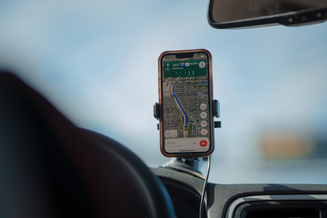
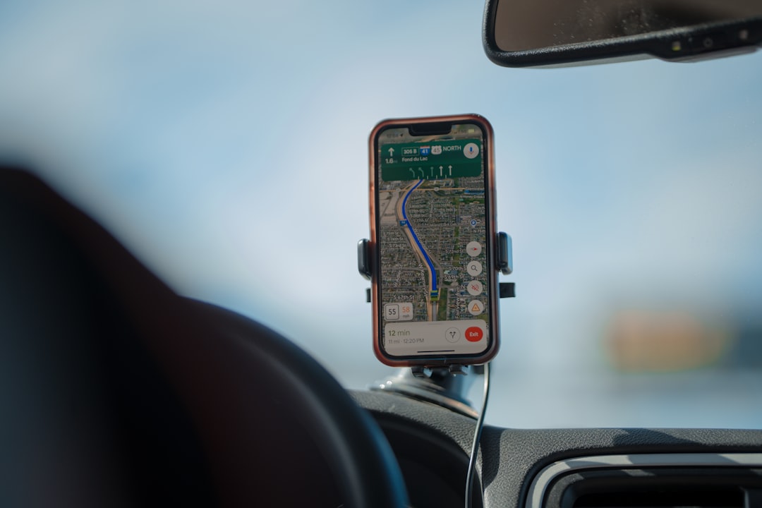
GPS applications have transformed how we travel, turning our smartphones into powerful navigation devices that guide us through traffic, suggest alternate routes, and help us discover new places.
Anúncios
Whether you’re commuting to work, exploring a new city, or embarking on a cross-country adventure, having a reliable GPS app on your phone is essential.
The right navigation app can save you time, reduce fuel consumption, and eliminate the frustration of getting lost.
⭐ Avalie Roupas da SHEIN
Today’s GPS applications offer far more than basic turn-by-turn directions—they provide real-time traffic updates, offline maps, speed limit warnings, and even help you find parking spots near your destination.
Anúncios
🗺️ Google Maps: The Industry Standard for Navigation
Google Maps has become synonymous with mobile navigation for good reason. With coverage spanning over 220 countries and territories, this application offers comprehensive mapping data that’s hard to beat. The app integrates seamlessly with Google’s ecosystem, pulling information from millions of users to provide accurate real-time traffic conditions.
What sets Google Maps apart is its constantly updated database. The app shows current traffic conditions using color-coded routes—green for clear roads, yellow for moderate traffic, and red for heavy congestion. This feature alone can save you significant time by automatically rerouting you around accidents or construction zones.

The application includes multiple transportation modes—driving, walking, cycling, and public transit. For public transportation, Google Maps provides detailed schedules, platform information, and real-time arrival predictions in hundreds of cities worldwide. You can even see how crowded a bus or train typically is during different times of day.
Street View integration allows you to preview your destination or check what a particular intersection looks like before you arrive. This feature proves invaluable when searching for specific building entrances or trying to identify landmarks in unfamiliar areas.
Voice Navigation and Lane Guidance
Google Maps offers clear voice directions with natural-sounding pronunciation of street names. The lane guidance feature shows exactly which lane you should be in for upcoming turns, particularly helpful on complex highway interchanges. The app also displays speed limit information and can alert you if you’re exceeding it in many regions.
📍 Waze: Community-Powered Navigation Excellence
Waze takes a fundamentally different approach to navigation by relying heavily on its active community of users. This crowdsourced model creates a dynamic, constantly updated navigation experience that excels at avoiding traffic problems and road hazards.

Drivers using Waze report accidents, police presence, speed cameras, road closures, and even objects on the road in real-time. This information immediately becomes available to other Waze users, creating an incredibly responsive navigation system. If there’s a sudden traffic jam ahead, Waze will often know about it and reroute you before other apps catch on.
The application calculates your estimated arrival time with remarkable accuracy by factoring in real-time conditions reported by the community. During your drive, Waze continuously monitors traffic patterns and won’t hesitate to suggest a faster route mid-journey if conditions change.
Social Features and Gamification
Waze incorporates social elements that make navigation more engaging. You can see friends on your map, coordinate meetups, and share your estimated arrival time. The app includes gamification features where users earn points for reporting hazards and driving with the app open, adding a fun competitive element to your commute.
For daily commuters, Waze learns your routine and can send notifications about when to leave based on current traffic conditions. The app integrates with calendar applications to suggest departure times for scheduled appointments.
🧭 HERE WeGo: Offline Navigation Specialist
HERE WeGo stands out for its exceptional offline capabilities, making it the ideal choice for international travelers or anyone concerned about data usage. You can download complete maps of entire countries or regions to your device, enabling full navigation functionality without any internet connection.

The offline maps include detailed street information, points of interest, and even public transportation routes. This feature becomes invaluable when traveling abroad and facing expensive roaming charges or unreliable connectivity in rural areas.
HERE WeGo provides comprehensive public transit information for over 1,300 cities worldwide. The app shows ticket prices for different transportation options and displays the cost comparison between driving, public transit, and taxi services for any given route.
Multi-Modal Route Planning
The application excels at combining different transportation methods into a single journey. It might suggest driving to a park-and-ride location, then taking public transit into the city center—calculating the total time and cost for the entire trip. This holistic approach to navigation helps you make informed decisions about the best way to reach your destination.
🚗 Sygic GPS Navigation: Premium Features for Serious Drivers
Sygic offers a premium navigation experience with high-quality 3D maps and advanced driver assistance features. The app uses TomTom maps, known for their accuracy and detail, and includes voice-guided navigation in over 40 languages.

One standout feature is Head-Up Display (HUD) mode, which projects navigation instructions onto your windshield when you place your phone on the dashboard. This augmented reality feature keeps your eyes closer to the road while following directions.
Sygic includes a built-in dashcam feature that records your drives and can automatically save footage if it detects a collision. The app also warns you about speed cameras, school zones, and dangerous curves ahead, making it particularly safety-focused.
Lane Assistant and Junction View
The lane assistant uses 3D graphics to show exactly which lane you should use for upcoming turns and exits. Junction view provides realistic images of complex intersections, reducing confusion on unfamiliar highways. These visual aids significantly reduce the stress of navigating complicated road systems.
⚙️ Key Features to Consider When Choosing Your GPS App
Selecting the right navigation app depends on your specific needs and driving habits. Consider these essential features when making your decision:
- Real-time traffic updates: Critical for daily commuters who need to avoid delays
- Offline functionality: Essential for areas with poor connectivity or international travel
- Voice guidance quality: Clear, timely instructions prevent missed turns
- Route customization: Ability to avoid tolls, highways, or ferries
- Speed limit display: Helps you stay legal and avoid tickets
- Lane guidance: Reduces stress on complex interchanges
- Points of interest: Finding gas stations, restaurants, or ATMs along your route
- Battery consumption: Important for longer trips without charging options
📊 Comparing Navigation Apps: Performance Metrics
| Feature | Google Maps | Waze | HERE WeGo | Sygic |
|---|---|---|---|---|
| Offline Maps | Limited areas | Not available | Full countries | Full countries |
| Real-time Traffic | Excellent | Excellent | Good | Good |
| Community Reports | Limited | Extensive | Limited | Moderate |
| Public Transit | Comprehensive | Basic | Comprehensive | Limited |
| Cost | Free | Free | Free | Free/Premium |
🔋 Maximizing Battery Life During Navigation
GPS navigation drains battery quickly due to constant screen usage, GPS signal processing, and data connectivity. Smart strategies can extend your phone’s battery life during long trips.
Download offline maps before your journey whenever possible. This eliminates the need for constant data connection, which significantly reduces battery consumption. Most apps allow you to download specific regions or routes in advance.
Reduce screen brightness to the minimum level where you can still read directions comfortably. Modern OLED screens consume less power when displaying darker colors, so consider using night mode even during daytime driving if the app offers this option.
Power-Saving Navigation Tips
Close background apps that aren’t needed during navigation. Streaming music, social media apps, and automatic cloud backups all consume power while your navigation app is running. Disable Bluetooth if you’re not using it for hands-free calling or audio.
Consider investing in a quality car charger that provides at least 2.4 amps of charging power. Many cheaper chargers can’t keep up with the power consumption of active navigation, resulting in your phone slowly losing charge even while plugged in.
🌐 Internet-Free Navigation: When Offline Maps Save the Day
Offline navigation capability transforms your phone into a truly independent GPS device. This feature proves essential in several scenarios beyond international travel.
Rural areas often have spotty cellular coverage. Having complete offline maps ensures you won’t lose navigation functionality when driving through remote regions. Mountain passes, desert highways, and countryside roads frequently lack reliable data connections.
Data roaming charges when traveling abroad can quickly become expensive. Downloading maps before your trip eliminates this concern entirely. You can navigate freely without worrying about unexpected charges on your phone bill.
How to Download and Manage Offline Maps
Most navigation apps allow selective downloading of specific geographic areas. Download your home region, frequent travel destinations, and anywhere you plan to visit. A typical state or small country map occupies between 100MB and 500MB of storage space.
Update your offline maps regularly—monthly updates ensure you have current information about new roads, changed traffic patterns, and updated points of interest. Set your app to update maps automatically when connected to Wi-Fi to maintain accuracy.
🎯 Advanced Navigation Techniques for Perfect Routes
Beyond basic turn-by-turn directions, modern GPS apps offer sophisticated features that help you optimize every journey. Learning to use these advanced capabilities separates casual users from navigation experts.
Multi-stop route planning allows you to add multiple destinations to a single trip. The app can optimize the order of stops to minimize total driving time, perfect for running errands or planning a sightseeing day. Some apps limit the number of stops on free versions, while others allow unlimited waypoints.
Time-based routing considers not just current conditions but predicted traffic patterns at your expected arrival time. If you’re planning a trip for tomorrow afternoon, the app can estimate what traffic will be like at that specific time based on historical data.
Avoiding Common Navigation Mistakes
Many drivers make the mistake of blindly following GPS directions without using common sense. Always preview your entire route before starting. Look for obviously inefficient detours or routes that send you through known trouble spots.
Keep your map view zoomed out enough to see the overall route structure, not just the immediate next turn. This broader perspective helps you understand your general direction and can alert you if the app suddenly reroutes you in an unexpected way.
🚦 Real-Time Traffic Intelligence: Understanding the Data
Traffic information comes from multiple sources, and understanding how your app collects and processes this data helps you trust its recommendations. GPS apps use anonymized speed data from millions of users to determine traffic flow on every road.
When many phones using the app move slowly on a particular stretch of road, the system identifies this as traffic congestion. The more users on the road, the more accurate the traffic data becomes. Major highways typically have excellent traffic data, while small side streets might have less reliable information.
Historical traffic patterns complement real-time data. Apps know that certain roads are always congested during rush hour, even if they haven’t yet received real-time reports. This predictive capability helps with planning future trips.
When to Trust Traffic Rerouting
Not every suggested reroute saves time. Apps sometimes overreact to temporary slowdowns that will clear before you reach them. If the app suggests adding multiple turns to save just two or three minutes, the original route might be simpler and equally fast.
Consider the type of roads in the alternate route. Surface streets with traffic lights might theoretically be faster than a congested highway, but the constant stop-and-go can be more stressful and use more fuel than slowly moving highway traffic.
🎤 Voice Commands and Hands-Free Operation
Safe navigation means keeping your hands on the wheel and eyes on the road. Voice control features let you interact with your GPS app without touching your phone, improving both safety and convenience.
Most navigation apps integrate with Google Assistant or Siri, allowing natural language commands. You can say “navigate to the nearest gas station” or “add a stop at the pharmacy” without touching your screen. The assistant will process your request and update your route accordingly.
Configure voice command activation before you start driving. Some apps support wake-word activation, while others require a button press. Test different settings to find what works best for your vehicle and phone placement.
🌟 Discovering Points of Interest Along Your Route
Modern GPS apps function as comprehensive travel companions, helping you find restaurants, gas stations, hotels, and attractions near your route. This functionality transforms navigation from simply getting from point A to point B into a tool for discovering new places.
Search for categories like “coffee shops” or “EV charging stations” and the app displays relevant locations along your path. Many apps show business hours, customer ratings, and current busyness levels to help you make informed decisions.
Save favorite locations for quick access later. Star your regular destinations, preferred gas stations, or favorite restaurants to reduce repeated searching. Most apps sync these saved places across devices when you’re logged into your account.
🛣️ Specialized Navigation: Trucks, RVs, and Motorcycles
Standard navigation apps design routes for regular passenger vehicles, which can create serious problems for larger vehicles or motorcycles. Specialized routing considers vehicle-specific factors that dramatically affect route feasibility.
Truck and RV navigation requires awareness of height restrictions, weight limits, bridge clearances, and roads that prohibit commercial vehicles. Using a standard GPS app in a large vehicle can lead to getting stuck under low bridges, on roads that can’t support your weight, or in residential areas where large vehicles are prohibited.
Motorcycle navigation prioritizes different factors—scenic roads, curve density, and avoiding unpaved surfaces might matter more than the absolute fastest route. Some apps offer motorcycle-specific routing that favors enjoyable riding roads over efficient highways.
The investment in specialized navigation for non-standard vehicles pays for itself by preventing costly mistakes, saving time, and significantly reducing stress during travel. These apps account for your specific vehicle dimensions and restrictions when calculating routes.
